UN
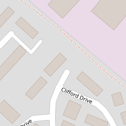
1 Clifford Drive
£ 175,000
Description
We don't have a Description for this property.
- Bedrooms
- 3
- Bathrooms
- 0
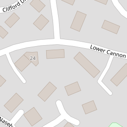

Leaflet © OpenStreetMap contributors
The heatmap indicates the level of crime in the area. The color of the heatmap indicates the crime severity and recency.
Metrics Year-on-Year
- Average area value
- 402,158.00 £Increased by 0.70 %
- Average area rental value
- 974.00 £/moDecreased by 3.85 %
- Est rental Yield
- 2.91 %Decreased by 4.28 %
- Crime Rate
- 299.00 %Unchanged by 0.00 %
from 399,346.00 £
from 1,013.00 £/mo
from 3.04 %
from 299.00 %
Nearby Schools
| Name | Type | Ofsted | Distance |
|---|---|---|---|
| St Catherine'S Cofe Primary School | Voluntary Aided School | Good | 0.20 KM |
| Moors Edge - Heathfield & District Children'S Centre | Children's Centre | 0.20 KM | |
| The Greater Horseshoe School | Other Independent Special School | Good | 0.90 KM |
| Stover School | Other Independent School | 2.03 KM | |
| Chudleigh Knighton Church Of England Primary School | Academy Converter | Good | 2.92 KM |
Images
Nearby Streets
| Name | Average Price | Average Sqft | Distance |
|---|---|---|---|
| Sharps Crescent | £ 230,000 | 0 | 0.00 KM |
| Fairfax Road | £ 400,000 | 0 | 0.00 KM |
| Newton Road | £ 213,333 | 0 | 0.00 KM |
Nearby Transport
| Name | NLC | TLC | Distance |
|---|---|---|---|
| Newton Abbot | 3426 | NTA | 7.47 KM |
Nearby Listings
| Address | Price | Type | Score | Distance |
|---|---|---|---|---|
| Drum Way, Heathfield, TQ12 | £ 195,000 | BUY | 5 / 10 | 0.08 KM |
| Lower Cannon Road, Heathfield, Newton Abbot, Devon, TQ12 | £ 200,000 | BUY | 5 / 10 | 0.10 KM |
| Lower Cannon Road, Heathfield, Newton Abbot | £ 200,000 | BUY | 7 / 10 | 0.10 KM |
| Lower Cannon Road, Heathfield | £ 215,000 | BUY | 6 / 10 | 0.10 KM |
| Lower Cannon Road, Heathfield | £ 215,000 | BUY | 6 / 10 | 0.10 KM |
Nearby Properties
| Address | Price | Distance |
|---|---|---|
| 15 Clifford Drive | £ 125,000 | 0.00 KM |
| 29 Clifford Drive | £ 150,000 | 0.00 KM |
| 19 Clifford Drive | £ 120,000 | 0.00 KM |
| 5 Clifford Drive | £ 166,000 | 0.00 KM |
| 27 Clifford Drive | £ 150,000 | 0.00 KM |